Myzio Drone Services delivers precision aerial mapping, land surveying, stunning photography and cinematic videography for industries that demand accuracy and impact.
From precision data capture to breathtaking aerial imagery, we provide end-to-end drone solutions tailored to your project requirements.
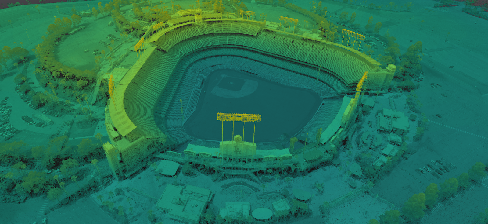
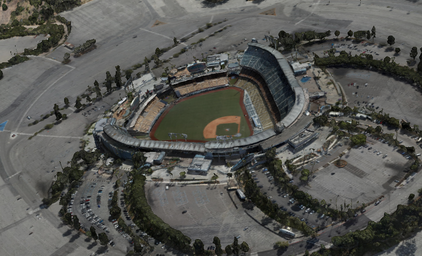
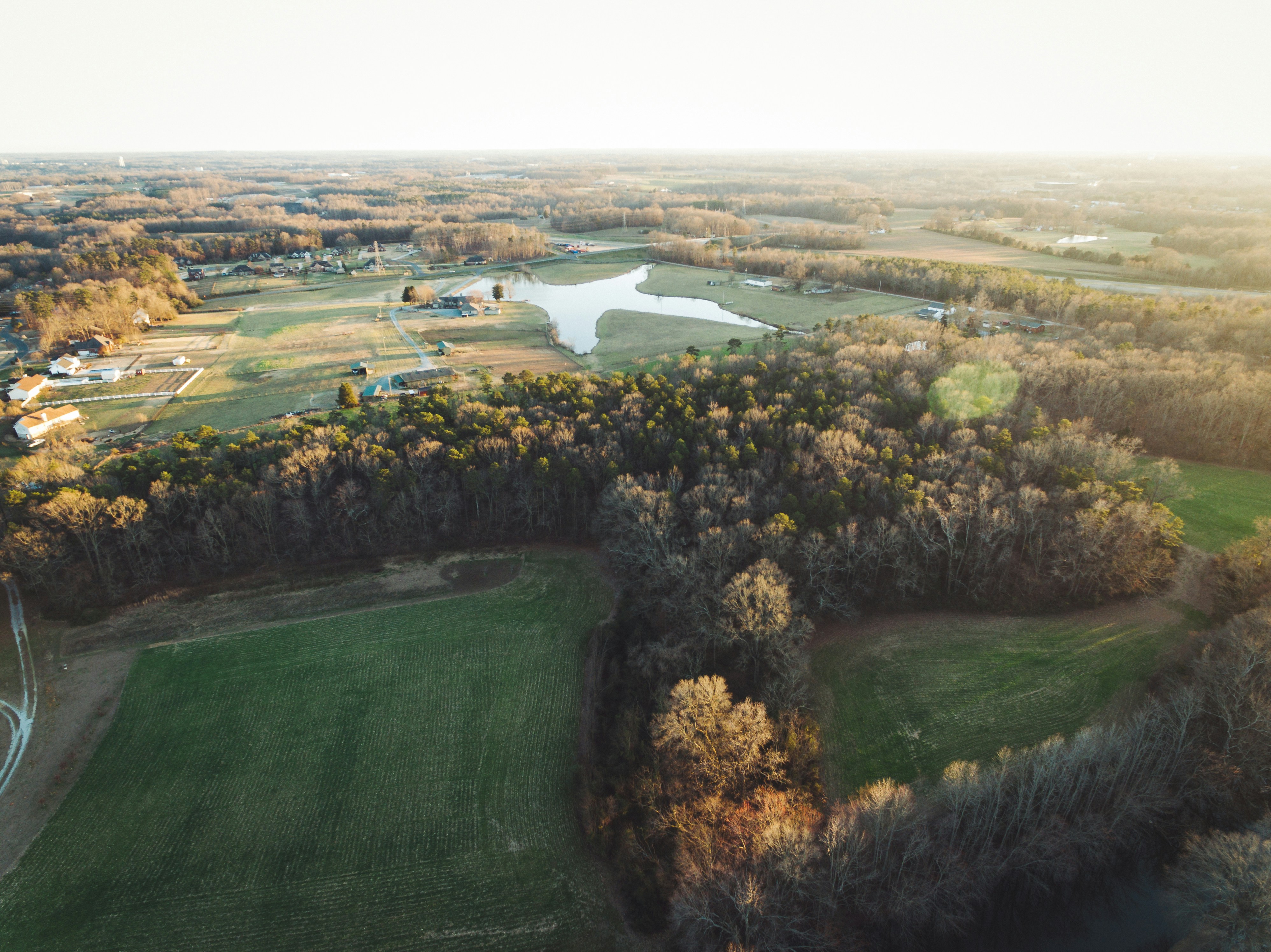
High-accuracy 2D and 3D mapping using photogrammetry and LiDAR technology, delivering georeferenced orthomosaic maps and detailed terrain models.
Precise topographic and boundary surveys completed faster and more safely than traditional methods, with centimetre-level accuracy using RTK GPS.
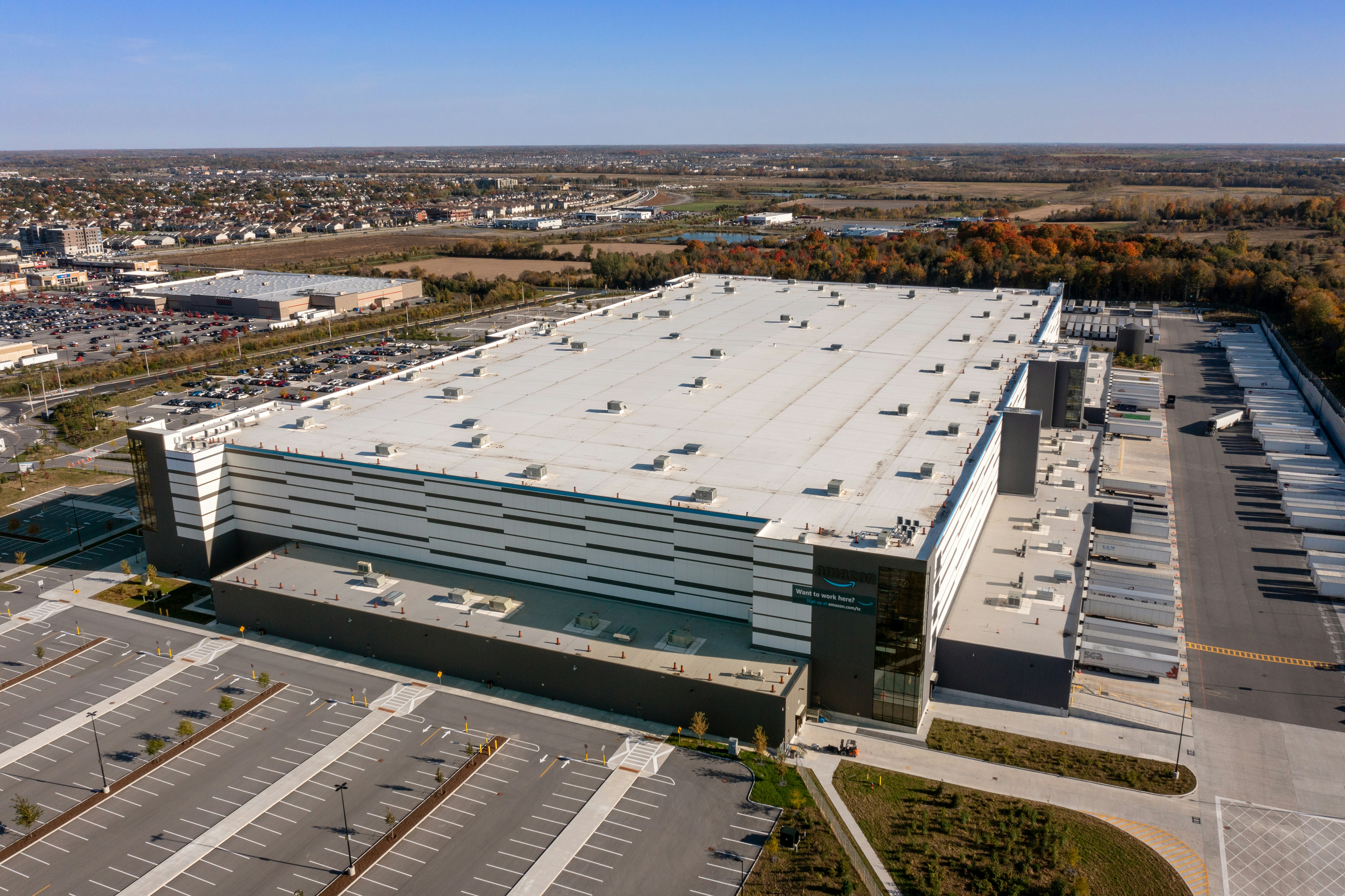
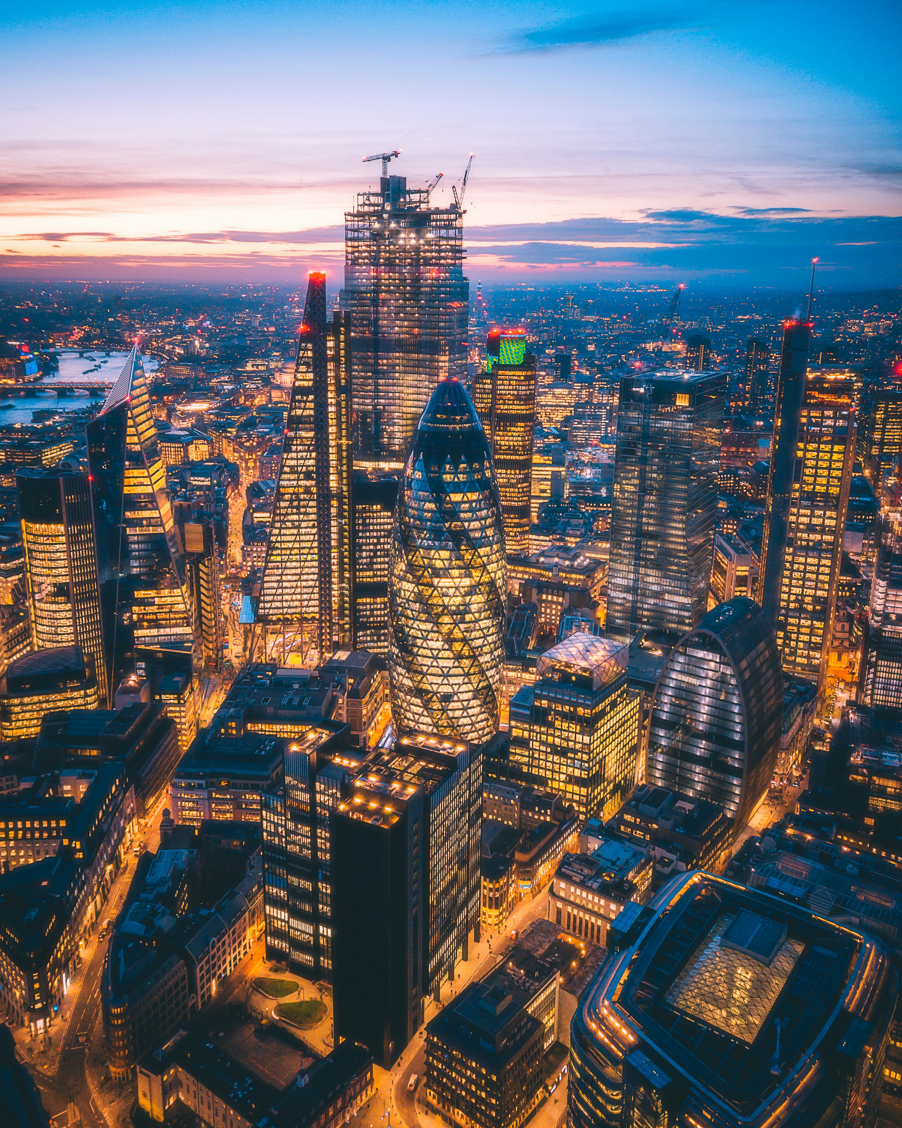
Stunning high-resolution aerial photographs that elevate your marketing, real estate listings, events, and commercial projects to new heights.
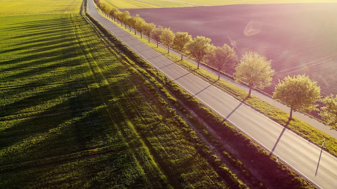
Cinematic 4K aerial footage with smooth, professional camera movements — perfect for promotional content, documentaries and broadcast productions.
We combine industry-leading drone hardware with deep technical expertise and a commitment to delivering results that exceed expectations.
Trusted by developers, architects, engineers, farmers, and filmmakers across the region.
Myzio delivered a complete orthomosaic map and volumetric analysis of our mine site within 48 hours. The accuracy was exceptional and saved our team weeks of ground-based survey work. Highly professional from start to finish.
The aerial footage Myzio produced for our luxury property listings was absolutely stunning. We sold three properties within a week of publishing the videos. The quality rivals broadcast-level production.
We've been using Myzio for our construction site monitoring for over two years. Monthly progress maps help us manage timelines, communicate with stakeholders, and catch issues before they become costly problems.
Everything you need to know before getting started with Myzio Drone Services.
Tell us about your project and we'll put together a tailored proposal. We typically respond within a few hours during business hours.